
VoyNex Distance · The chart
6,600 miles is table stakes. The 400 inside the ECA are the number that changes the offer.
Type your ports and get the miles, the days and the route drawn on the water, with the low-sulphur stretch coloured separately because that is what moves the bunker bill. Drag a waypoint and the days change under your cursor.
We built it inside a dry-bulk owner-operator's operation, against their live fixtures.
What it holds
Four things a chart has to get right.
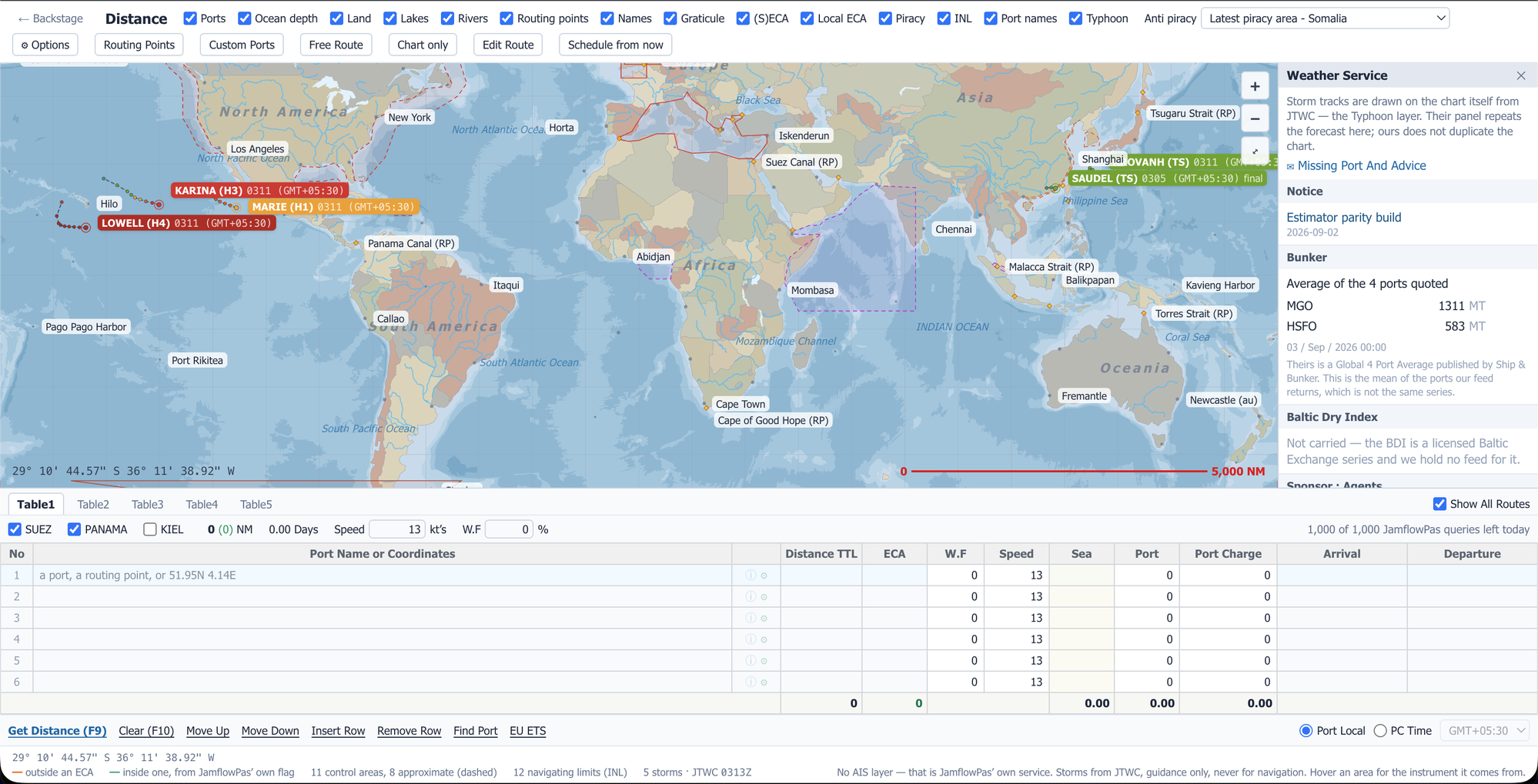
01 · The chart
It looks like a chart, not a spreadsheet.
Coastlines, islands, rivers and depths, with the route drawn on the water. This is the screen that gets put in front of a client.
02 · Emissions
The ECA miles are the point.
Knowing the voyage length is table stakes. Knowing what falls inside an emission control area, and what it does to the bunker bill, changes the offer. Coloured on the track and totalled separately.
03 · Constraints
Canals, war risk and typhoons sit on the chart, not in a footnote.
Suez, Panama and Kiel opened or closed, and the route redraws around them. Piracy and war-risk boundaries are drawn where they are today, and live typhoon tracks from the JTWC update through the day.
04 · Handoff
One click to Estimator, and back again.
The rotation goes to the chart and returns as legs with distance, ECA distance, passing points and weather factor. Four ways past an emission zone: straight through, normal bypass, shortest, cost-optimised.
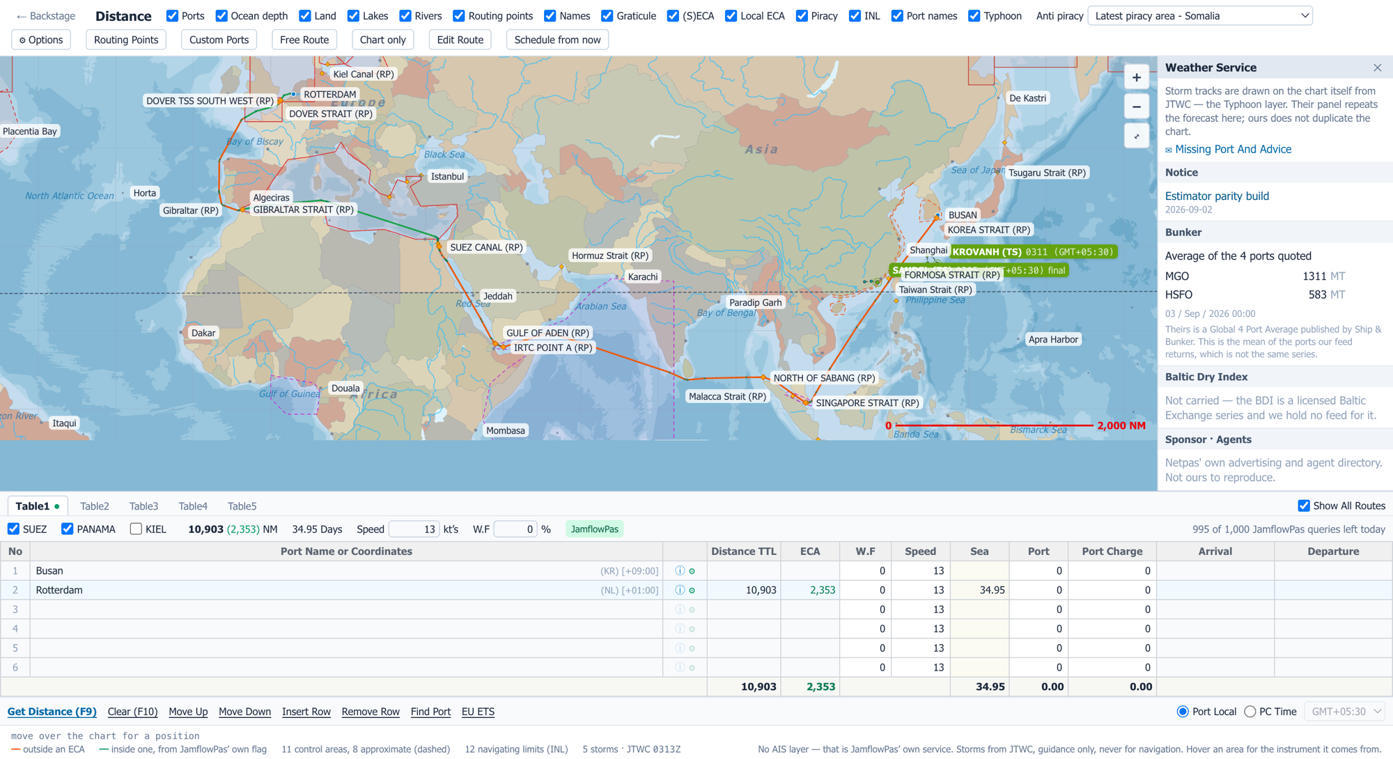
- 3,000+ ports by name, with local time. Passing points and canals included
- Reshape it by hand. Add your own waypoints, routing points and custom ports, and it keeps them for next time
- Five working route tables side by side, so alternatives sit next to each other rather than replacing each other
Two things it will not do. It does not track vessels, and it does not steer around weather. It draws the storms on the chart, but you decide what to do about them.
Route a voyage you have already run.
Bring the ports and the laycan. We draw it in front of you, split the ECA miles out of the total, and you check the distance against what the voyage actually did.